Didger

AMP UP YOUR GEOPROCESSING TOOLBOX
Dynamic Digitizing
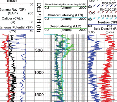
Save time and money with Didger. Transform paper maps, graphs, images, and logs into dynamic and modern digital formats. Didger offers both manual and automatic digitizing tools.
Didger Digitizing Options
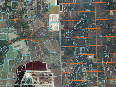
- Full automatic digitizing: Simply click a button to automatically extract lines and polygons from the scanned images for verification and editing
- Manual onscreen digitizing: Draw objects with your mouse to digitize the image on-screen
- Tablet digitizing: Digitize hard-copy documents using any Wintab32-compatible digitizing tablets
Georeference Data
Improve the accuracy of your project. Quickly transform unreferenced data files, vector data, or imagery into real-world coordinates for use in real-world projects. Didger offers 10 spatial transformation methods and automatically calculates the root-mean-square (RMS) error value to verify accuracy. Alternatively, shift features in any direction with mathematical operations. Didger automatically warps images to eliminate distortion.
Didger Spatial Transformation Methods
- Affine Polynomial
- 1st, 2nd, and 3rd order polynomial
- Thin plate spline
- Natural cubic spline
- Marcov spline
- Exponential spline
- Rational quadratic spline
- Inverse distance squared
Work Seamlessly with all Coordinate Systems
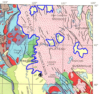
Transform data into dynamic formats, regardless of coordinate system. Didger effortlessly manages unreferenced data and data projected in different/multiple coordinate systems.
Didger Coordinate System Features
- Over 2500 predefined coordinate systems
- Create custom coordinate systems
- Reproject coordinate systems
- Over 80 ellipsoids
- Over 45 predefined linear units
- Create custom linear units
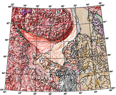
- Add graticule or grid lines to view different coordinate systems on a map
Understand Your Data
Find answers to your questions with Didger’s geoprocessing tools. Process your data and analyze relationships. Narrow down areas of interest, highlight important intersections, or perform mathematical calculations on the underlying data to make informed decisions.
Didger Geoprocessing Features
- Reshape, simplify, smooth polylines and polygons
- Convert between points, polylines, and polygons
- Create new polygons by combining existing polygons
- Create points or polygons in intersecting areas
- Connect or break polylines at specified locations
- Combine and split islands
- Mosaic, clip, crop, and resize images
- Calculate areas and distances

Immediate Access to Online Data
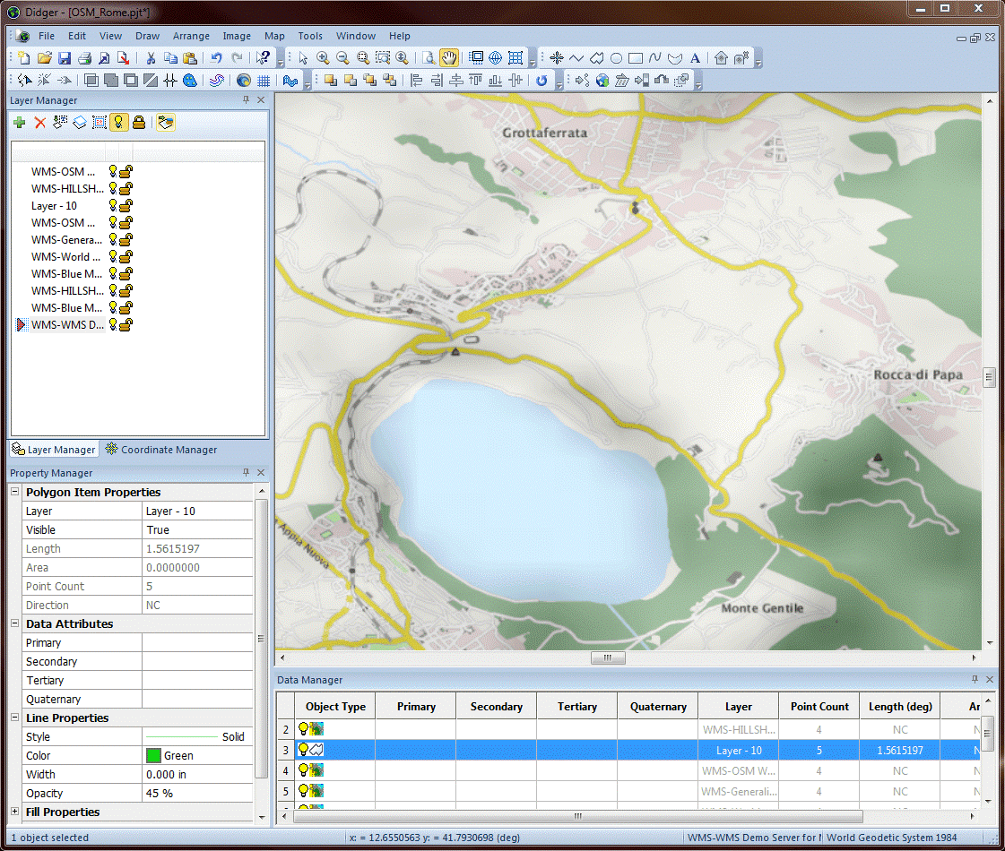
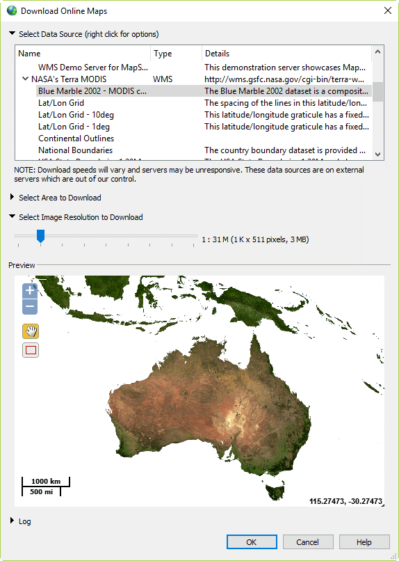
An abundance of data is at your fingertips. Didger gives you immediate access to imagery from any online web mapping services (WMS), public or private.
Complete Compatibility
Seamlessly visualize and analyze data from multiple sources. Didger natively reads numerous file formats including SHP, DXF, PDF, TIF, and XLSX. Didger also supports all popular export formats. An extensive set of data management tools are at your disposal for complete compatibility.
Streamlined Workflows
Transform your data in a matter of minutes. Didger’s easy-to-use interface steps you through the data transformation process.
Didger User Interface Features
- Single window to view, edit, and manipulate the data and maps
- Object manager to easily manage map layers and all associated objects
- Property manager for quick feature editing
- Dock or float all managers
- Customize toolbar layout
- Customize practically all components of the user interface to fit your needs
